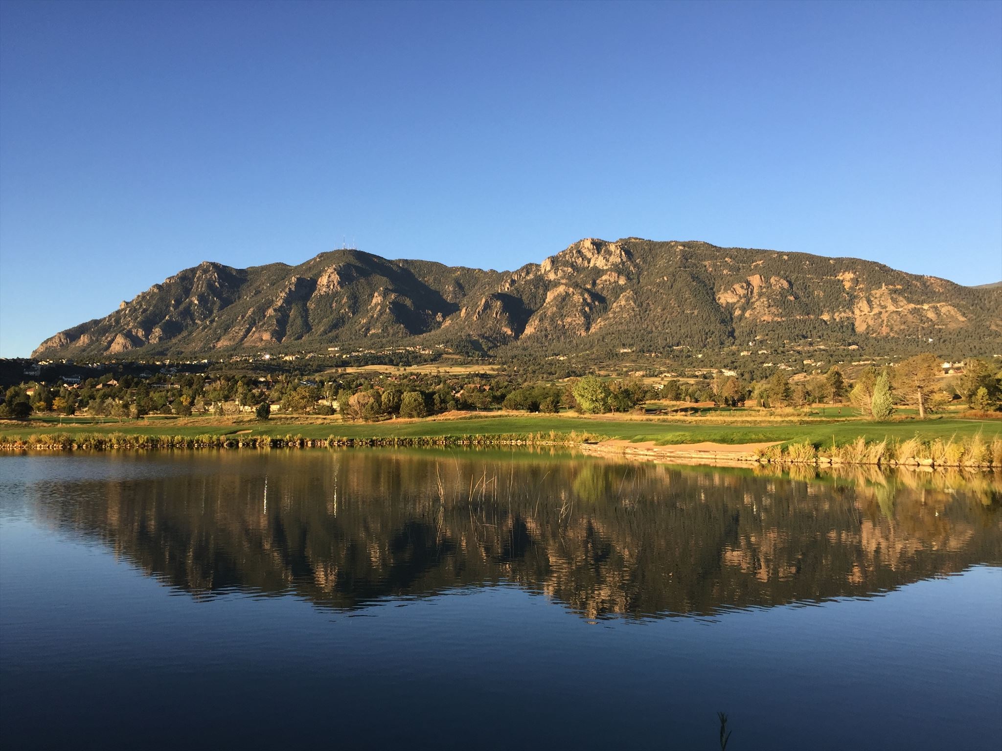
 Despite being an imposing silhouette dominating the western sky, few hikers venture to the summit of Cheyenne Mountain.
Congratulations to WingsAndTales - First to Find!
 Cheyenne Mountain has three distinct peaks. At 9,570 feet, the highest point is within Pike National Forest and is where this cache is located. The other two peaks are the Antenna Farm and The Horns, both on private property.
Approach from the west to remain on public lands. Above all else, do not trespass on US Government property (NORAD). But also do not attempt to hike up the old road from the Will Rogers Shrine to The Horns (now The Broadmoor's Cloud Camp), or park along Old Stage at any point north of the National Forest boundary - about 4 miles from the bottom. Cheyenne Mountain State Park is building additional trail resources on land they recently acquired, but the new Dixon Trail past Robber's Roost is not expected to open to the public until 2018 at the earliest, so please also avoid attempting this access.
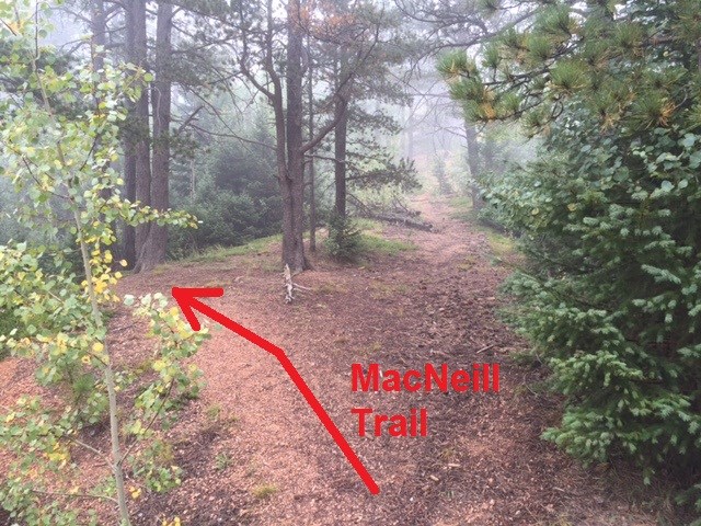 Suggested parking is on Old Stage Road (FR368) 5.7 miles from the bottom. The easiest hike is a somewhat circuitous 7.5 miles round trip with about 1000 feet of elevation gain. From parking, begin on the MacNeill Trail (also called Pipeline Trail), turn right at 2.2 miles onto the Swisher Trail, gain the summit ridge, then go off trail and follow the wooded ridgeline toward the southwest about 3/4 mile to the summit. It is also possible to reach the summit using a direct ascent of the Southwest Slopes (see waypoints and map for a suggested route).
 You will be looking for an ammo can under some rocks. The summit log in a glass jar is not the cache.
Thanks to Spivey, original owner of this ammo can, and estes01 who rescued it from the Waldo Canyon fire zone.
Additional Waypoints
P06RY05 - PARKING
N 38° 44.026 W 104° 53.762
Suggested Parking
R06RY05 - MacNeill / Swisher Junction
N 38° 44.935 W 104° 52.473
Turn right and head uphill on Swisher Trail.
R16RY05 - MacNeill Trail Fork
N 38° 44.277 W 104° 53.422
Turn right and head uphill for the Southwest Slopes route. Continue straight for the MacNeill/Swisher route.
R36RY05 - Southwest Slopes Leave Trail
N 38° 44.171 W 104° 53.425
Leave trail here for Southwest Slopes route.
TH6RY05 - MacNeill Trailhead
N 38° 44.033 W 104° 53.731
MacNeill Trailhead
 Cheyenne Mountain Peak
 | Difficulty:
  | Terrain:


")