GC32F21 Traditional Cache What Happened to my Spout?!
Type: Traditional | Size: Small Small | Difficulty: 2.5 out of 5 | Terrain: 5 out of 5
By: Denali41 @ | Hide Date: 07/28/2011 | Status: Available
Country: United States | State: Colorado
Coordinates: N38° 00.027 W107° 45.682 | Last updated: 08/30/2019 | Fav points: 0
Not Recommended for kids  Takes more than an hour  Scenic view  Significant hike  Difficult climbing  Cliff / falling rocks  Long Hike (+10km) 

CONGRATULATIONS TO ernie66 and estes01 FOR FTF!!

I have a very sad story to tell. For a million years or more I was a perfect teakettle. In fact, that’s why I was named “Teakettle Mountain”. I had a nice handle, a slender kettle pot, and a spout that made me proud. My spout was shaped in the greatest British tradition of teakettles–it projected straight out and then made the famous right-angled teakettle spout turn upward. Yes, I was perfect. But then, in the winter of 1998-1999 my spout disappeared; I guess my spout simply fell off! I’ve felt horribly deformed ever since that tragic winter event, even though my handle and kettle are still intact and show nice lines and form.
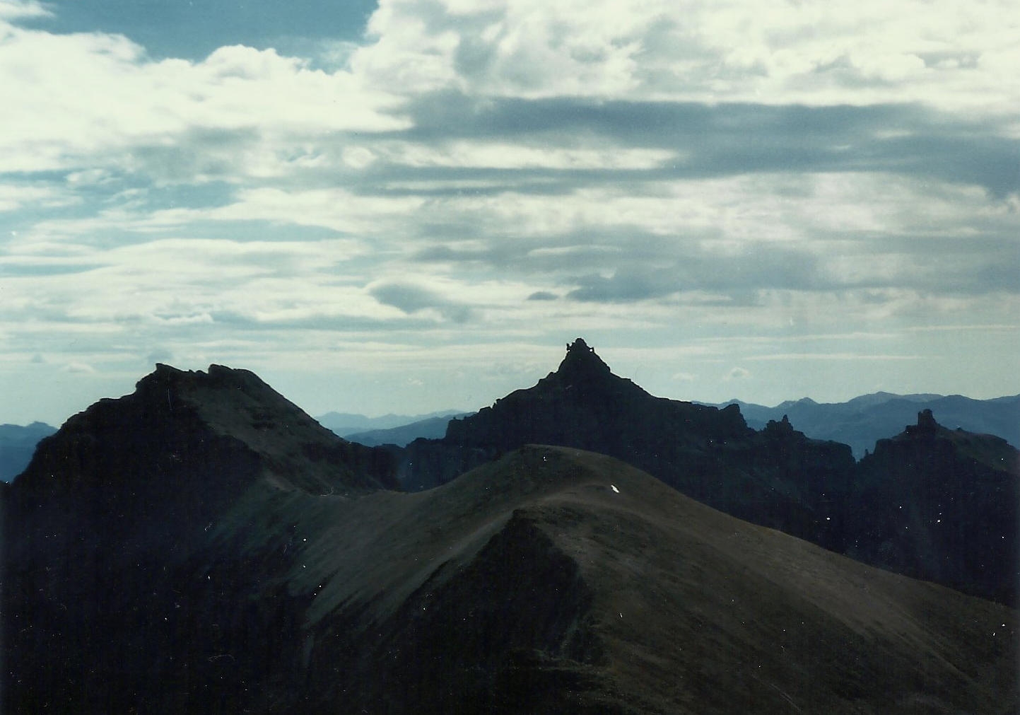

With My Spout!


But worse than losing my spout, I wonder what Coffeepot (elevation 13,568 feet) thinks of me now that I no longer have my spout. She lives a little more than 1/3 mile down the jagged ridge from me. She’s beautiful. You can see her near the right end of the photo. I’ve been in love with her for over a million years, and I’m certain that she’s loved me, too. But we can’t talk because we are stone dumb. Even if we could converse, the strong winds along our connecting ridge would make it difficult for us to hear one another. But as I said, I’m certain that my gorgeous Coffeepot loves me, too. She has the shape of a coffee carafe, as a coffeepot ought to. Unfortunately, with my spout gone, I have a bit of that shape too, and I need to be poured from the top now–but everyone knows that a teakettle should be poured through a spout that begins near the bottom of the kettle. So now with the significant loss of my spout, I hope and hope that Coffeepot still finds me attractive and appealing. The uncertainty is tough to deal with, but I manage, day after day, and I try to keep a positive attitude.
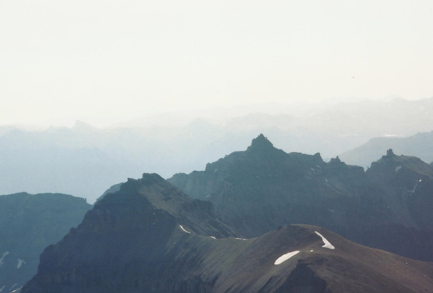

What Happened to my Spout?!


My life as a mountain is pretty lonely. Very occasionally some climbers come and use ropes to clamber about my vertical kettle and they get on top and shout for joy. I guess they appreciate me even without my spout. I hear them indicate that I’m one of only three of the highest 100 peaks in Colorado that require technical climbing to reach the top by the easiest route. I’m 13,819 feet tall, and my kettle is pretty darned steep. And then, after they’ve stuck metallic things into my cracks in order to “protect” themselves as they climb to my summit, they descend a little and offend me my standing in my handle while assuming all sorts of hilarious poses for the cameras. That disrespect they show is hardly fair to me.

Well, recently one of these climbers did something else that I don’t understand. He left what’s called a “geocache” on me. It feels like a small cylinder, and it’s tucked in a nook under one of my rocks. This geocache thing has some paper in it that I heard referred to as a “log”. Now that’s a quandary, isn’t it, because logs are fallen trees, and I’m far above any trees at my remarkable location. So how can a log be crammed into that little vial? It’s a mystery to me. I suspect that very few people will ever find the geocache on me, because getting to my kettle is a very serious undertaking. I get a bit confused, because I hear climbers say that I’m “Lower Class 5" as a technical climb, while that guy who put this geocache thingy on me told another climber that I’m a 5-star Terrain cache. So I’m “5" no matter if I’m being climbed or if I’m being found. I wonder what Coffeepot would think about all this...

Here's a link to some great pics of me, and other information that might be helpful. Enjoy the photos! ~Teakettle~

Well, if you come up here to climb me or to find my special cache, be certain to have emergency gear and extra clothing, food, and water. I’m famous for lightning storms, so be certain to come early in the day.


NOTE: reaching the cache does NOT require technical, protected rope climbing. The cache is located just before the final summit pitch that is normally ascended with a rope

More Info

 Custom URLs

Add cache to watch list
Log your visit
Picture Gallery

 Nearby Caches

GC3139K Black Bear Pass Revisited (11.47 kms S)
GC31365 Three Needles (12.23 kms S)
GC3RDCQ End of the road, start of something bett (29.18 kms SE)
GC2CF4X When You're Smilin' (42.73 kms S)
GC8XD82 BLACKBIRD (48.86 kms N)


Driving Directions

 Logs

7 Logs: Found it 5  Write note 2  

Found it 08/20/2018 By COpackrat
I can't say that this peak was on my list to do again, but with the cache there... WingsAndTales and I made our way up here to the cache, and continued to the summit. Had our little teaparty on top and enjoyed the great views in spite of the smoke from the California fires. It was nice to have company this time. TFTC

Found it 08/20/2018 By WingsAndTales
It's tough to write a log for a cache that you have wanted to do for so long. COpackrat and I have gone to the San Juans 3 different summers chasing challenging caches. Last year we ran out of energy and good weather before we got to this one. This year it was at the top of our list and we had a perfect weather day for it. I had researched the route extensively so we knew what we were in for. It's steep and loose but manageable if you are on the correct route. The coords were good and the cache was tucked snugly in its spot even after all this time. It was certainly a day I'll never forget. TFTC

Found it 07/27/2014 By RDAD
On October 8, 2012 I solo hiked/climbed to Coffeepot planning to continue on to Teakettle and this cache. However once at coffeepot, I had to retreat due to unexpected snow conditions that I was not prepared for.

So after almost 2 years with many unexpected setbacks, today CNC and I hiked/climbed on up and finally found this exceptional cache location. The cache was right where I first looked and is still in perfect condition. We signed in on the logsheet and put it back to rest, wondering when the next signature will appear.

We had a great time exploring the summit area. We thoroughly enjoyed the many challenges Teakettle presented us with today.

Many many thanks for a placement at this fantastic location!!

Found it 08/02/2013 By estes01
I believe that Coffeepot thinks Teakettle is still as handsome as ever – a natural wonder that only improves with age. And who would not be impressed by that handle! I know I was.

3,200 feet of elevation gain and a total of 5.25 miles, one well-thought-out step at a time, and every step was worth it. I doubt that any hike I do in the future will ever surpass this one on any level. The beauty of the surrounding mountain peaks was astounding.

I would have given up before I reached the first stage (the base of Coffeepot) if it hadn’t been for ernie66’s encouragement…never mind the reassuring words…half the time he was dragging me up and the rest of the time I was showering talus down on him.

This is certainly not an easy hike, but if you love the beauty of the Colorado mountains, this one should be a priority. My sincere thanks to Denali41.

Found it 08/02/2013 By ernie66
Estes01 and I have been looking at this one for a long time and finally today brought a chance to do the hike. It rained heavily the night before and there were flash flood watches in the area. We met to start the hike at 6:00 and there was evidence of some erosion due to runoff along the road into Yankee Boy Basin.

The hike started out with a bang -- a 50-degree wet grassy slope to ascend directly from parking. From there, alternating grassy and talus areas kept us occupied until the real ascent of Coffeepot began. 1000 vertical feet of steep, loose talus and scree coupled with an early morning graupel storm made things interesting. Then the descent from Coffeepot, a traverse across a slope covered with large, loose talus, and the ascent of the dreaded Black Gully. Once past that, it's a relatively easy trail to the cache. We signed FTF at about 11:00.

This was one of the toughest hikes I've done. I don't remember ever experiencing quite this amount of loose talus on any hike. Make sure you read the entry in the Roach book regarding routes and take plenty of common sense and intuition with you. We had to retrace our steps a couple of times to find a better path. Ultimately, we ascended the standard route and came down directly from the Black Gully using Roach's alternate route.

All in all, this is an amazing area and this caching experience will be remembered for a long, long time. Thank you.

Write note 01/21/2013 By Denali41
See the clarification I have added to the cache description. It reads: "NOTE: reaching the cache does NOT require technical, protected rope climbing. The cache is located just before the final summit pitch that is normally ascended with a rope."

Write note 08/03/2012 By vorticity
I have done all the Colorado Class 4 14ers. TeaKettle is not going to be on my list of 13ers. The 14ers scare me enough as it is. Nice job placing this however Vort.