Rocky Mountain (RM) Off Road Series (ORS) #21: McAllister Gulch / Ptarmigan Pass
A series by: Team Red Rubicon.
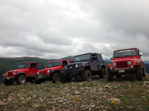
This is the first of four caches in the #21 series of Rocky Mountain off-road caches located along the McAllister Gulch and Ptarmigan Pass trails. The trail starts along Highway 24 just south of Red Cliff, CO. These caches were placed for the annual 4x4 event in 2015.
Cache Information
This cache is located near the summit of Resolution Mountain. You can park at a trail junction, or take the short and steep spur trail all the way to the top. It's a little bumpy in places so watch your tires!.
RM Off Road Series #21 Complete Cache Listing
1. Ptarmigan Pass Cache
2. View on the Ridge
3. Hornsilver Mountain
4. Resolution Mountain
Trail Information
We started these trails at Camp Hale, just south of Red Cliff, CO, and ran Ptarmigan Pass to the junction with McAllister Gulch, and took McAllister Gulch back to Camp Hale. It's a fun day long adventure on the trail, with good scenery, lots of spur trails to check out (difficulty varies), and amazing views all over the place. Ptarmigan Pass is a narrow trail and doesn't have many good places to accommodate for oncoming traffic. Remember uphill has the right of way (but whoever has the safest access to pull out of the way should). Ptarmigan Pass takes you above treeline for a short bit, then drops you back in the trees where you'll meet up with McAllister Gulch.
Rating/Description
The trails are rated Moderate and there's only a few places where accurate tire placement would be helpful when running these trails as described. These trails should be good for stock SUVs and trucks. The longer the wheelbase the more interesting it could be. As descried, we would rate this route a 3 (easiest routes) to 4 (most difficult routes) out of 10 based on the traildamage website. Disclaimer: You need to decide for yourself if it is safe to run either of these trails in your vehicle and if you have any doubts, don't do it.
Winter Months
This trail is not accessible in the winter due to snow.
Time/Distance
The total distance to run the trail is about 20 miles round trip. The trails can be run in about 6 hours with a few stops thrown in, but make sure you leave extra time to have lunch on the trail, find the caches and to do some exploring. To reach the trailhead from the Denver area takes just over 2 hours.
 RM ORS #21-04: Resolution Mountain
 | Difficulty:
  | Terrain: