GC7KF6Z Multi-cache Rocky Mountain Clockwise
Type: Multi | Size: Regular Regular | Difficulty: 2 out of 5 | Terrain: 4 out of 5
By: ernie66 @ | Hide Date: 03/11/2018 | Status: Available
Country: United States | State: Colorado
Coordinates: N38° 51.448 W104° 57.668 | Last updated: 08/30/2019 | Fav points: 0
Dogs  Takes more than an hour  Scenic view  Significant hike  Bicycles  Medium hike (1km-10km) 

Rocky Mountain is a small, forested peak towering over the town of Manitou Springs. A former incline cog railway traces a path up the east side of the mountain. Closed and dismantled in 1990, the railway path now known as The Incline is a favorite of local and visiting hikers alike.

This 4-stage multi-cache will take you on a circumnavigation of Rocky Mountain starting at another long-abandoned facility, the Fremont Forest Experiment Station. Operating from 1909 to 1935, this laboratory was the site of scientific experiments that would guide the reforestation of the Rocky Mountains. The station was closed in 1935 because it was considered too remote. Their loss is your gain as you can now explore the station ruins and experience some solitude after leaving the Incline crowds behind.

From the station, your route proceeds clockwise around Rocky Mountain, at first following Longs Ranch Road, open to hiking and bicycles and occasionally used for utilities vehicle access.

There are at least three ways to access this cache. All will involve about 2500 feet of elevation gain and between 6 and 9 miles of travel on well-established trails.

The Incline Your hike will be approximately 4 miles round trip from the top of The Incline. Begin by following the wide trail that heads uphill toward the west from the Incline summit area.
Barr Trail The 3-mile loop around Rocky Mountain begins near the 3-mile mark on Barr Trail.
Longs Ranch Road (FR 329) This route is suited to mountain bikes and begins at the gate on Highway 24 just opposite the Waldo Canyon Trailhead. However, there is no legal parking near the trailhead. It's about 4 miles to the starting point of this multi-cache.

Additional Waypoints

 Custom URLs

Add cache to watch list
Log your visit
Picture Gallery

 Hints

1. Pipe
2. Roots
3. Water
4. Rocks

 Nearby Caches

GC3ECY6 Extraction #1 (6.85 kms E)
GC11DH7 Jones Park Overlook (6.91 kms S)
GCAMR2W Bear Creek Concrete Couch (9.26 kms SE)
GC2Q2NA Nice Spot v2.1 (10.72 kms NE)
GC11CRN Two for the Show (15.78 kms E)


Driving Directions

 Logs

6 Logs: Found it 5  Owner Maintenance 1  

Found it 04/07/2019 By Silly4Life
Clever hiding spot. Cool site with some ruins.

Found it 06/23/2018 By OR85OR450
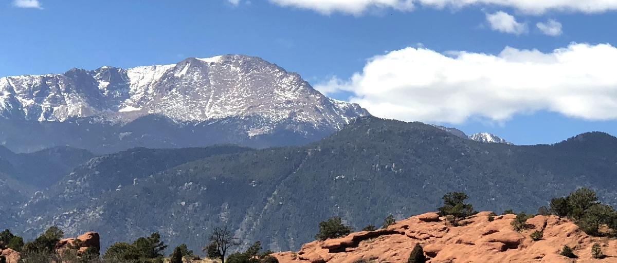
Got a chance to hike the incline and continue on to this new multi. The 'stairs' were weekend packed... but apart from a small group (club?) of runners coming down from the Barr Camp direction while I was watering up at No Name, I never saw another person until I went all the way round to the spur that joins Barr again at about three miles. People sure love the beaten path

Found it 04/26/2018 By WingsAndTales
There are so many trails up in this area. This cache is a great way to explore a bit. We used a combination of the incline and Barr Trail to cut the distance a little. I swapped out the TBs. TFTC

Found it 04/22/2018 By estes01
Was with the CO when he placed the cache, so we did it in a counter-clockwise direction. I did it again with WingsAndTales in the correct direction and definitely prefer counter-clockwise. Either way, it's an interesting and beautiful hike over varied terrain (but always with a trail or stairs). Using the Incline for the first half and then continuing on the Barr Trail is the best way to do it, particularly if you have a backpack. Great multi!

Found it 03/28/2018 By MountainBear
Found with Javachip. Nice trip around the area after hiking up the trail. There must have been a wild turkey convention there because we saw their tracks in the snow all over the place. TFTC!

Owner Maintenance 03/25/2018 By ernie66
Stopped in today and retrieved the wayward pipe cap. All is good to go!