 08/13/2016 By ArkF
Second time was the charm on this cache. Found it today after maybe 30 minutes of searching. My GPS has the same limitation as Back Country Horsemen's. So I made a more precise projection on the computer to verify my field projections from the last attempt. They were close enough that I was sure I had done it right. I followed the previous log's guidance to look a bit downhill and eventually made the find. My GPS had me about 18 ft from my most accurate projection, and maybe 30 ft from the field calc. Not too bad, but still a lot of options in that range. Read through the fairly short set of previous logs, then added my own. Thanks!
 My helper, not really helping much
10/09/2015 By Back Country Horsemen
Another long & varied story for this multi/field puzzle too. Again, since I knew there would be no 3G/cell service in the area I tried to research this as much as possible since I was confused as to which equations I needed to solve, which signs were missing, which ones were replaced, etc. After finding the other cache the day before I was hopeful I would be successful here after finding the new sign & doing the math to get a "true" bearing and the same distance, even with the past 2 dnfs. Since my GPS only sights in whole degrees for the bearing I actually projected 3 waypoints. One rounding up, another rounding down and one using the old magnetic bearing. Off we rode with three projections plugged in. We took the horses as far up as we could then left them hobbled (no live trees to tie to) and hiked the final .2 mile to GZ. We started looking at the lowest one and worked our way further up. After pretty close to an hour search we decided to sadly dnf it because we were really there to ride and our horses were waiting although we knew they were enjoying the bits of grass they found.
Later that early evening we rode high enough that I could get a spot of 3G if I stood just right so I messaged the CO for a hint & tried to include all the info I had including a pic from what I thought was the best Lair. This delayed our return just enough that it was pretty dark by the time we got to camp. All I could see was our dog guiding us down the trail just ahead. Later that evening a bull elk serenaded us just up the Flowers Rd. from our campsite-it was beautiful. But we warned him not to hang out long as rifle season started in one more day!
On our final day we had plans to trailer to & then ride up to the Pingree Park B-17 crash site hoping we could find the described trail with the horses. As soon as we got high enough my phone blinged & sure enough Tahosa had responded with a very detailed hint. After making the 8 mile RT ride up to the crash we loaded the horses and drove back towards Jacks Gulch, parked, but left the horses in the trailer and made the climb. After about 10 minutes of searching I hit the right hidey hole & there was that rascally ammo can! I could see where we had been searching the day before and I checked. The magnetic projected point was about 70' above us and one of the "true" rounded GZs was about 85' just slightly a different direction. The other rounded down bearing was about 130' away.
So. like the other cache, my projection was about the same distance off, but this is a much more difficult area to search with so many more possibilities that it was hard to narrow down the search. I really admire those who have been able to stick to it or get lucky like I did at the other and find the cache without any additional info.
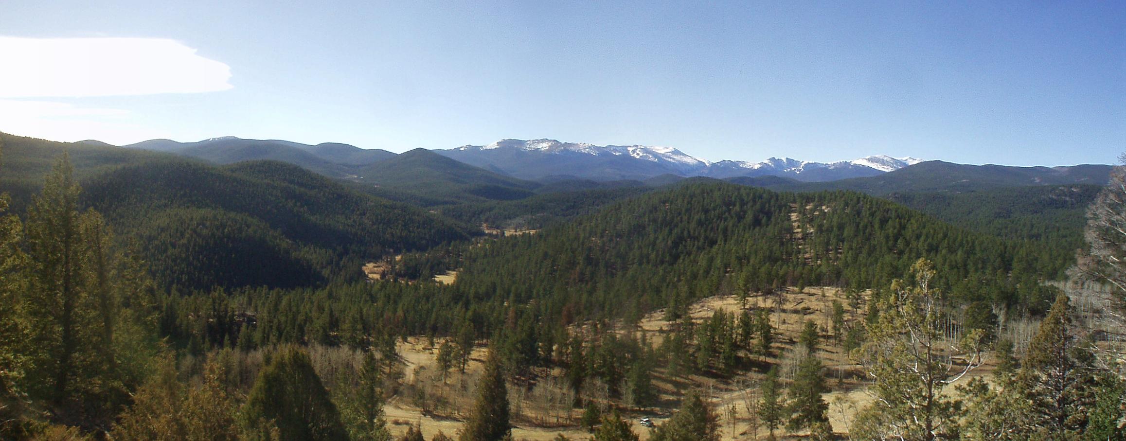
View from near the Lair
Hitch resting while I signed the log
 08/15/2015 By FoCoGeoClan
We were camped a Jack's Gulch and decided to give this one a shot. Just like ArkF before us, we seemed to be in the right area based on the cache name and based on our calculations but we could not find a cache. Regardless it was a fun walk and a great view. Had to hurry down as storms were moving in. Thanks for the adventure!
06/22/2014 By ArkF
Looks like we are the first ones to have to claim a did not find. We went out today and easily got the new true bearing off the sign. Using the distance I calculated at home, we projected a waypoint and headed up the hill. Found a number of areas that looked like they would hold a cache, but nothing that actually was holding a cache. Definitely found an area that fit the name of the cache. We will have to try again another day.
It was fantastic out this morning, sunny but not hot. Wildflowers everywhere, and a few small aspens already coming up after the fire. We had an early lunch here then headed off to our next adventure.
New growth
Curious local
05/03/2014 By icezebra11
After a little over 3 years and 8 months, this lonely Lair has been visited and the log book signed. Spring has arrived in the high country. The rivers and streams are beginning to rise. It was in the 60s this morning on this hike and there was no snow this low. I went to the kiosk and projected my bearing and distance. Went to the location of GZ, searched for a little while, and finally came up with the container. Magnetic declination changes over time and the website I used said there is 1° of difference today from the date the cache was placed. I found that the bearing I calculated from the 2009 updated method was about 2° off of where I actually found the cache so I suggest the next seeker add 2 degrees. Thanks Joe for this nice cache. It's the kind of location Quigley would have loved!
Lair of the Sharpshooter
Lair Log
View from the Lair
 07/18/2012 By Tahosa and Sons
Please stay away from the cache till either myself or Denali41 give the Ok to enter the area. And I can imagine this will not happen until the summer of 2013.
~WARINING-area is closed till further notice!!!~
08/21/2010 By COpackrat
As slowly as I was moving in the heat, you wouldn't have to be much of a sharpshooter to pick me off! Interesting vantage point, the truck sure looked far away... TFTC
 11/03/2009 By HighCountryAdmin
N40° 38.068 W105° 31.699
Coordinates Changed From
N 40° 37.869 W 105° 33.056
Distance From Old: 6377.2 feet
Updating coordinates per owners request.
HighCountryAdmin
Volunteer Geocache Reviewer
 11/02/2009 By Tahosa and Sons
Same place but different data to find the cache. If sign gets repaired then we will go thru this again. Have fun, and be safe up there.
 10/28/2009 By Tahosa and Sons
Due to the fact that the sign has been vandalized. 
The numbers to solve the solution are in question. So please give me time to re-work this cache and come
up with a good scenario that will lead you to the cache.
It is also winter and hunting season so the searches up there are questionable at the most.
If you really have the urge and desire to look for this one during this hiatus, please contact Denali41 and maybe you can cajole him into going with you as a guide and mentor to find this cache.
Hope I can have it up before the winter breaks or the PTB's have other notions.
Thank you.
Tahosa
 Lair of the Sharpshooter
 | Difficulty:
  | Terrain:


;)
;)
;)
;)
;)
;)
;)
;)