The NEW Colorado County Challenge
The cache IS at the listed coordinates. Please DO NOT upload the text from the Project-GC Checker, I check all "found it" logs. Also there is no need to upload a picture of your Colorado map, as not all caches count (Rule 3). Please do upload pictures of your favorite caches or experiences from across the state, or the amazing views from this cache.
What is The NEW Colorado County Challenge?
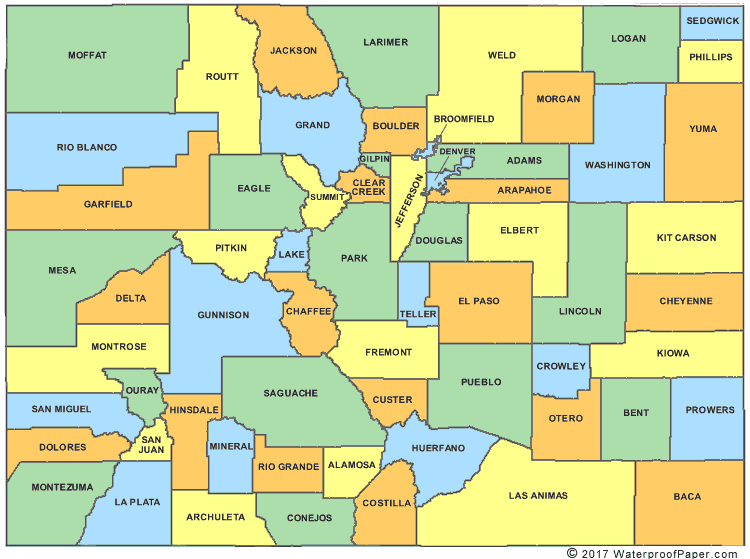
Colorado is the 8th largest state with 64 counties spread out across 104,093.67 total square miles. The goal of this challenge is to find a qualifying cache in each and every county in Colorado! The cache can only be logged as "found it" after successfully finding a qualifying cache in each county. Rule 3 below. A Colorado County map can be obtained here.
Please contact Pathfinder33@outlook.com with any questions. Cachers may sign a challenge cache's physical log at any time, and a "write note" log can be annotated on the online log at that time. However, the challenge cache may only be logged as found online only after the log is signed and the challenge tasks have been met and documented.
For cache pages published after April 21, 2015 with a challenge checker, the owner can confirm the finder's qualification with the checker when the cache is logged as found. No further documentation is required from the finder. (no need to upload pictures of your colored in County map, but pictures from caches around the state on your journey and of the challenge cache location are always appreciated!)
While you may have others with you when you find the final cache, only those who have fulfilled ALL criteria for this cache will be allowed to log it as a find. "Found it" logs online by cachers who have not completed the challenge will be deleted. ALL cachers who log a "found it" will have their name run through the challenge checker by the CO, Those who have been found to have not completed the logging requirements will be deleted.
Remember that this is a game and is supposed to be fun!
- As mentioned above, the posted coordinates are the actual coordinates for the cache.
- Generally accepted rules, guidelines and conditions for logging a cache apply. These must be bona fide caches listed on Geocaching.com that you have personally found and logged. You may include caches found prior to the creation of The NEW Colorado County Challenge so long as they meet all other challenge requirements.
- All cache types count as finds for The NEW Colorado County Challenge except for locationless caches, traveling caches, and event caches of any type.
This cache is located a short walk (1/2 mile) from a parking area (13,215 ft) located not far from the summit of Imogene Pass. Imogene Pass is a moderate rated trail (5-7 on a 1-10 scale) that is 17.1 miles long and connects the towns of Telluride and Ouray in the San Juan Mountains. Imogene Pass is the third highest pass road in the state of Colorado. It is recommended to have a high clearance vehicle with 4WD to access the parking area. It can be done with a mountain bike, dirt bike, ATV, and UTV as well. ATV/UTV trailer parking (coordinates provided) in Ouray only, as there is no parking at the trailhead in Telluride. The easiest way to the parking area is the 7.1 miles from Telluride, the 10 miles from Ouray is much easier going down than up, and has several water crossings of Imogene and Canyon Creeks. The cache itself is located at the top of Telluride Peak (13,509 Ft). Late summer storms develop quickly in the high country. These storms generally come with a good amount of lightning with them. The last place you want to be is on top of a 13,500 foot mountain with a metal ammo can in your hands...... use some common sense when going after this final cache container.

Additional Waypoints
018DT6G - ATV/UTV trailer parking
N 38° 01.083 W 107° 40.500
FN8DT6G - Final Location
N 37° 55.484 W 107° 44.160
Telluride Peak 13,510'
P08DT6G - Parking, must walk from here
N 37° 55.827 W 107° 43.827
 The NEW Colorado County Challenge
 | Difficulty:
  | Terrain:


")
