Part of a series sharing historical information about the Pikes Peak backcountry placed by the Pikes Peak Historical Society.


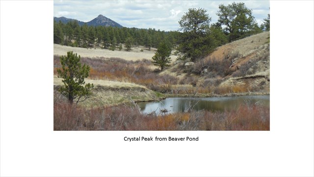
All of the Pikes Peak region was the ancestral land of the Tabeguache Band of Ute Indians. If you look to the north/northeast, you will see Crystal Peak, the pyramid-shaped peak. Ute Indians made pilgrimages to this peak to collect its crystals of topaz, smoky quartz and amazonite. It is one of only two places in the world where amazonite crystals can be found. The other is along the Amazon, in Brazil, and is the origin of this mineral’s name. Ute Indians considered these crystals to be very sacred. After collecting these crystals, they continued their pilgrimage to Pikes Peak where the crystals were blessed in a Vision Quest on its summit. Culturally scarred trees, called Prayer Trees, mark the route of this pilgrimage.
By the early 1870s, miners flocked to the Crystal Peak area to collect smoky quartz. There, they encountered what the Indians already were well aware of: exceptionally beautiful amazonite crystals growing with smoky quartz, often together in the same pockets. Today, the amazonite crystals from Crystal Peak are generally considered the best in the world. Smoky quartz crystals there can grow to some of the largest in North America. Crystal Peak is privately owned, and trespassers are prosecuted to the full extent of the law.
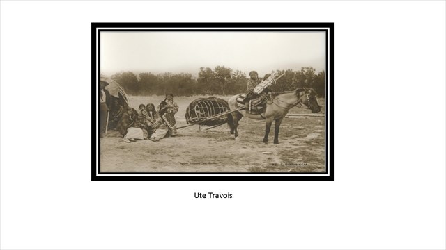
Wildhorn / CR3 passed by Crystal Peak and was one of the lodge pole trails to Denver. Lodge Pole Trails were wide enough for a horse pulling a travois, and were used when the villages were changing location.

Additional Waypoints
P06J75N - PPHS Crystal Peak View
N 38° 55.764 W 105° 20.736
Great view of Pikes Peak. Off load ATV's or hike less than 2 miles. Can drive to cache on forest road.
 PPHS View of Crystal Peak
 | Difficulty:
  | Terrain:


