|
GC12X5Z
 Cliff Cleft Cabin
Type: Traditional | Size: Regular  | Difficulty:
  | Terrain:
  By: bird bear and bug (adopted by Path Pacer) @ | Hide Date: 05/13/2007 | Status: Available Country: United States | State: Colorado Coordinates: N40° 27.263 W105° 26.053 | Last updated: 08/30/2019 | Fav points: 3 


")
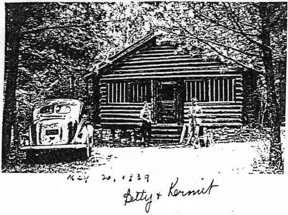
 Cabin 1939 Cabin 1939
Add cache to watch list Log your visit Picture Gallery
In a niche at the base of a very big rock, just as the slope starts to get really cliffy.
GC87TXQ Above the Flood #2 (13.20 kms E) GC8QVV6 Ol' Henhouse Raider (14.58 kms SW) GC5VEBC geowars: Fox hill cache (27.33 kms E) GC5VEBQ geowars: 30 seconds cache (27.89 kms E) GC49F7Z P M #20 (31.55 kms NE) |
Driving Directions
11 Logs: |